
Surveying Services
At CIVRA, surveying is more than measuring land – it’s about creating a clear foundation for successful projects. Combining advanced technology, technical expertise, and a dedication to exceptional service, we deliver precise, dependable surveying solutions for property owners, developers, engineers, municipalities, and contractors alike. Whether defining the boundaries of a residential property, supporting a complex commercial development, or providing critical data for major infrastructure projects, our team brings accuracy, insight, and confidence to every stage of the process. With CIVRA, you gain a trusted partner committed to helping your vision move forward with clarity and precision.
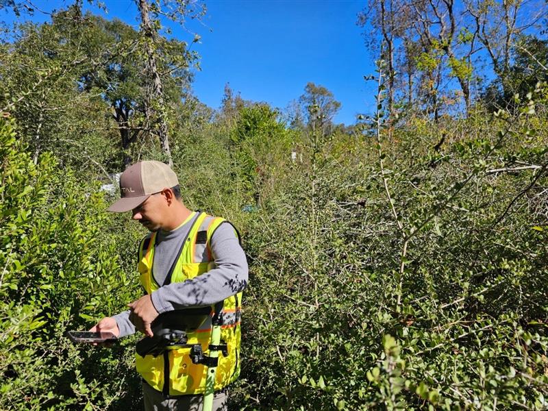
Our surveying services provide accurate, reliable data to support property owners, developers, engineers, municipalities, and contractors throughout every stage of a project.
Topographic Surveys
Our detailed topographic surveys capture elevations, contours, and site features to support planning, design, and construction projects.
Boundary Surveys
Accurate boundary surveys that define property limits, support land transactions, and help resolve disputes.
ALTA/NSPS Land Title Surveys
Industry-standard surveys providing comprehensive property information for commercial real estate transactions.

Right -of-Way Surveys
Accurate corridor mapping and land acquisition support for transportation, utility, and infrastructure projects.
Easement and Encroachment Surveys
We identify easements, rights of use, and encroachments that may affect property ownership and development.
GIS Analysis
Using advanced Geographic Information System (GIS) technology, we analyze and interpret data for optimal project design.